 Morris
Golf course
Campo Municipal de Golf el Castillejo
Alcala de la Selva (Teruel, Aragon)
- 9 holes
- Par 35
- 3D fly-over
- Send to a friend
Aerial photo: PNOA cedido por © Instituto Geográfico Nacional
- Holes
- 9
- Par
- 35
- Slope
- 112–136
- Course rating
- 31.1–36.6
- Length
- 2,552 m
- Yellow
Campo Municipal de Golf el Castillejo is a golf course in Alcala de la Selva (Teruel, Aragon) with 9 holes and a par of 35. From the yellow tees it measures 2,552 metres. Its slope ranges from 112 to 136 depending on the tee. Its course rating ranges from 31.1 to 36.6.
Scorecard
Par, stroke index and metres from every tee.
Tee
| Tee | Length | Par | CR | Slope |
|---|---|---|---|---|
| YellowMen | 2,552 m | 35 | 33.9 | 115 |
| YellowWomen | 2,552 m | 35 | 36.6 | 136 |
| RedMen | 2,108 m | 35 | 31.1 | 112 |
| RedWomen | 2,108 m | 35 | 33.3 | 121 |
Hole by hole
Open a hole and fly over it in 3D from the tee to the green. Then walk it at your own pace.
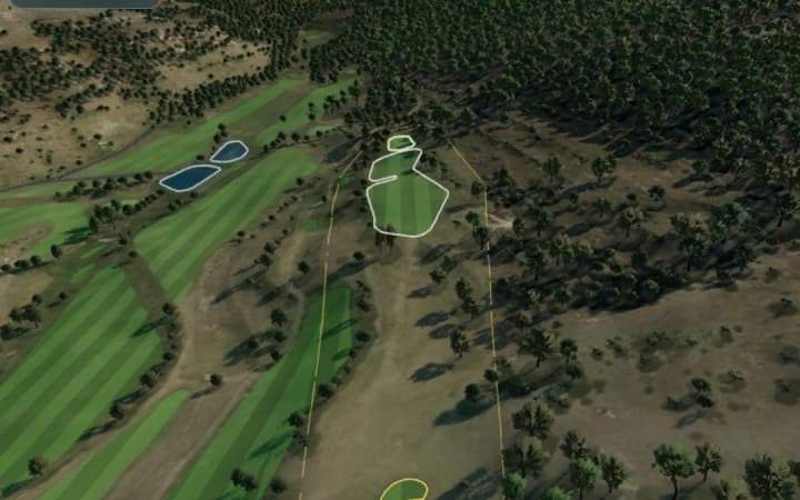
Hole
1
- Par
- 4
- SI
- 9
- m
- 227
- Red189 m
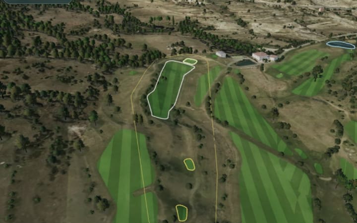
Hole
2
- Par
- 4
- SI
- 17
- m
- 273
- Red231 m

Hole
3
- Par
- 4
- SI
- 1
- m
- 387
- Red345 m
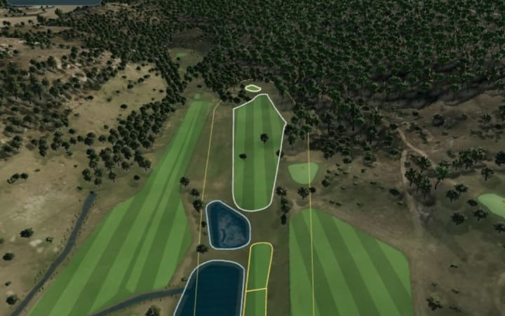
Hole
4
- Par
- 4
- SI
- 13
- m
- 246
- Red227 m
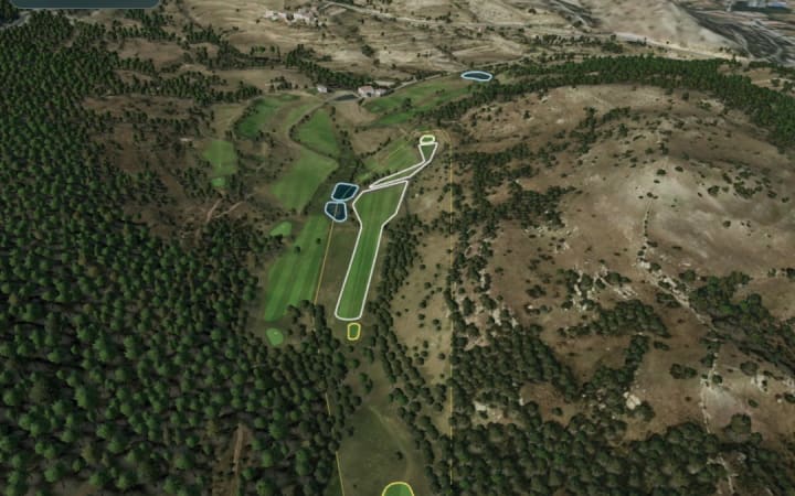
Hole
5
- Par
- 5
- SI
- 3
- m
- 503
- Red360 m
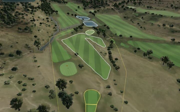
Hole
6
- Par
- 3
- SI
- 11
- m
- 156
- Red149 m
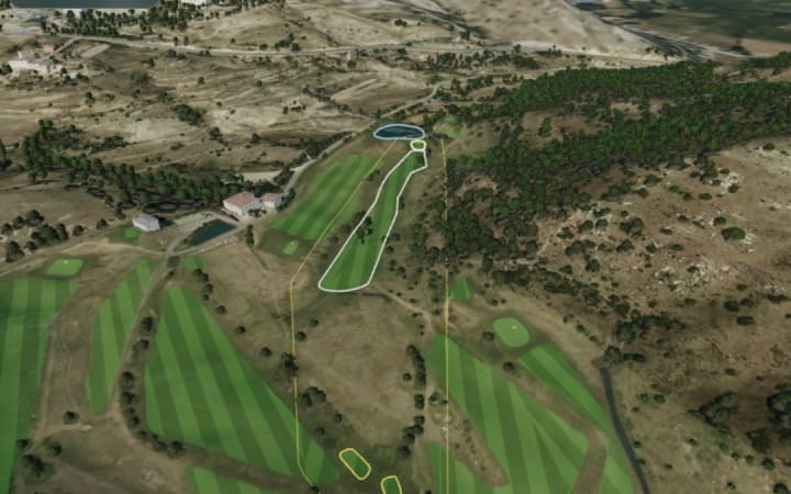
Hole
7
- Par
- 4
- SI
- 5
- m
- 382
- Red310 m

Hole
8
- Par
- 3
- SI
- 7
- m
- 116
- Red89 m

Hole
9
- Par
- 4
- SI
- 15
- m
- 262
- Red208 m

Hole
10
- Par
- 4
- SI
- 10
- m
- —

Hole
11
- Par
- 4
- SI
- 18
- m
- —

Hole
12
- Par
- 4
- SI
- 2
- m
- —

Hole
13
- Par
- 4
- SI
- 14
- m
- —
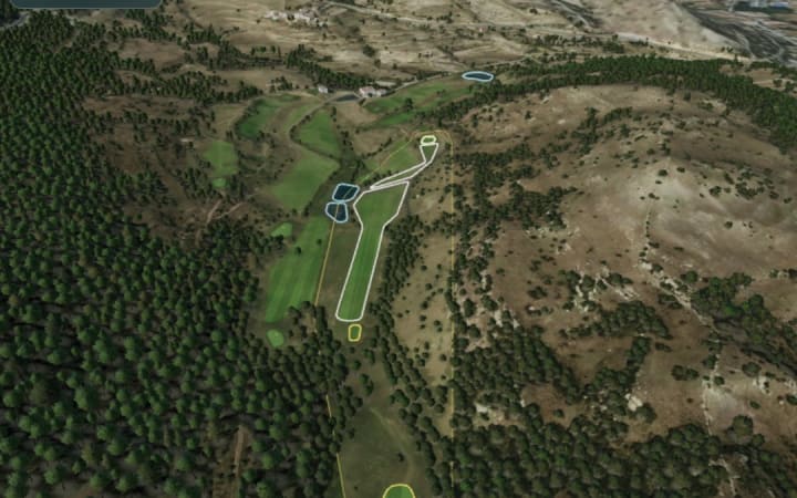
Hole
14
- Par
- 5
- SI
- 4
- m
- —

Hole
15
- Par
- 3
- SI
- 12
- m
- —
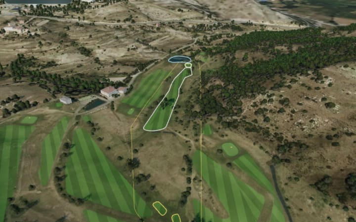
Hole
16
- Par
- 4
- SI
- 6
- m
- —

Hole
17
- Par
- 3
- SI
- 8
- m
- —

Hole
18
- Par
- 4
- SI
- 16
- m
- —
Aerial photo: PNOA cedido por © Instituto Geográfico Nacional
Where it is
Alcala de la Selva (Teruel, Aragon) · Virgen de la Vega s/n · 44432
40.34955, -0.70674
Frequently asked questions
- Where is Campo Municipal de Golf el Castillejo?
- Alcala de la Selva (Teruel, Aragon). Virgen de la Vega s/n, 44432.
- How many holes does Campo Municipal de Golf el Castillejo have, and what is its par?
- Campo Municipal de Golf el Castillejo is a golf course in Alcala de la Selva (Teruel, Aragon) with 9 holes and a par of 35.
- What are the slope and course rating of Campo Municipal de Golf el Castillejo?
- Its slope ranges from 112 to 136 depending on the tee. Its course rating ranges from 31.1 to 36.6.
- How long is Campo Municipal de Golf el Castillejo?
- From the yellow tees it measures 2,552 metres.
- Can I see the holes of Campo Municipal de Golf el Castillejo in 3D?
- Yes. On this page you can fly over 18 of its holes in 3D.
Courses nearby
Morris Golf
Take it in the app
Live scorecard, distances and your stats in the Morris Golf app.
Data from the Morris Golf course catalogue. If something looks wrong, tell Morris on WhatsApp.